Joel Heaton
I lead products from the first field interview to the shipped interface — turning complex geospatial, sensor, and AI data into tools that field crews, engineers, and executives can act on.
Senior Product and UX Designer with 10+ years leading enterprise design across energy, network infrastructure, and global SaaS — often as the design lead embedded directly inside engineering teams. I run the whole life cycle: framing the problem with stakeholders, researching in the field, building the UI library, prototyping, testing with real users, and staying with engineering through delivery. Today I'm applying that same process to my own AI-assisted geospatial product, Earth Steward.
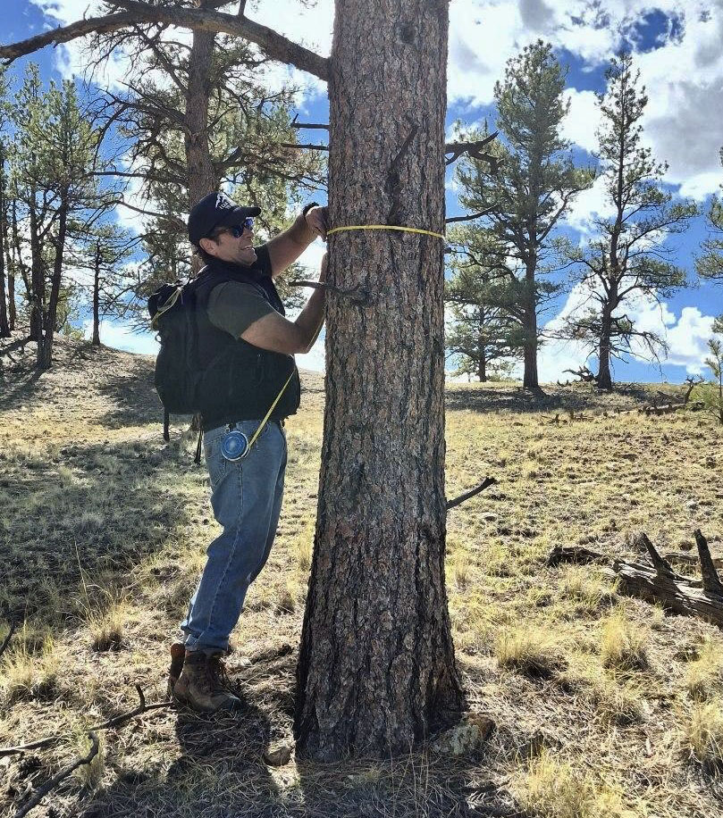
“I've always done my research where the work happens — beside a pipeline, inside a plant, on a forest plot. Now, with mapping, drones as a source of truth, and LiDAR technology, AI can see the land and its assets at a scale no crew can walk — and with more truth. My job is to make what they see clear enough to trust, and act on.”
Grounded in mixed-methods research
My work is built on mixed-methods research — pairing what people tell me in the field with what the data and testing show. It's a well-established approach, and every project has taught me to practice it better, from a midstream pipeline to a private forest. Each stage ends with something stakeholders can see and decide on.
Define
Frame the problem with stakeholders and engineering. Agree on what success looks like before anything is designed.
Hypothesis flow
Success metrics
Learn
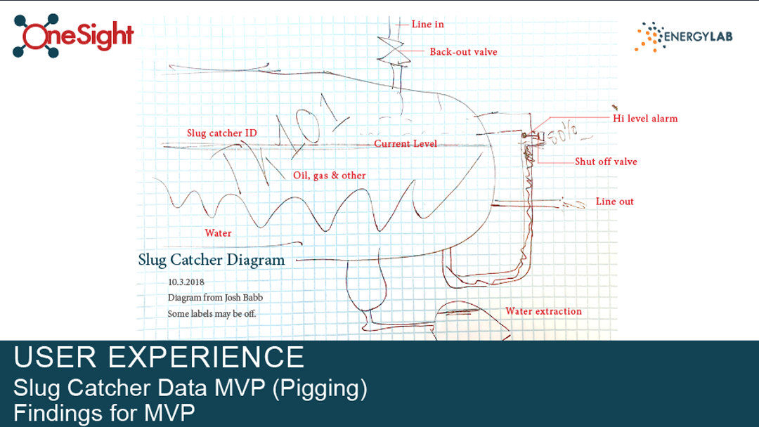
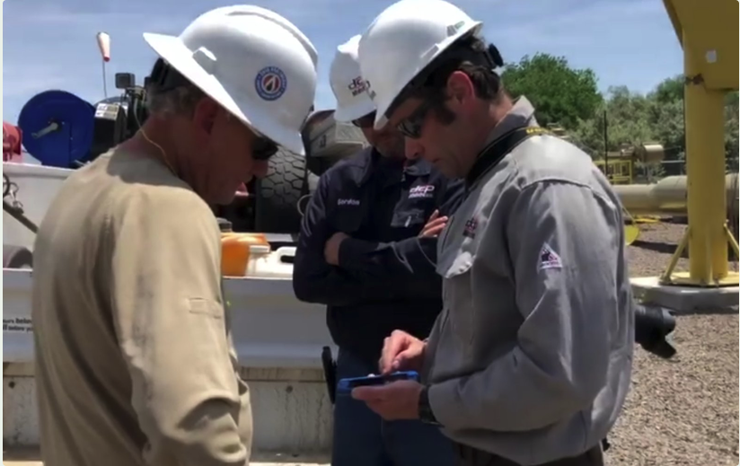
Go where the work happens. Combine interviews and field observation with surveys, data sources, and comparison testing; synthesize it into insight leaders can act on.
Personas & journeys
Research synthesis
Build
Design the system, not just screens — component libraries, prototypes, and specs engineers can build from directly.
Figma prototypes
Engineering hand-off
Test
Put it in real hands, in real conditions. Measure, iterate, and carry the findings into the next release.
Release iterations
Adoption metrics